
Wind is the trajectory. Plan around it.
For drift balloons - hot air, research, weather - the wind field at altitude IS the flight path. AirVeto shows Open-Meteo wind at the exact altitude, time, and location so you can verify a drift corridor before launch or explain a recovery point after.
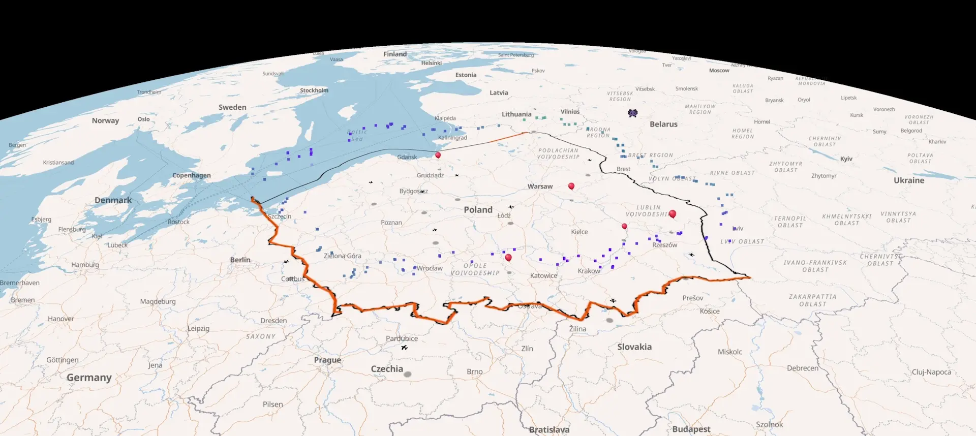
Recent cross-border balloon and aircraft incidents.
Every reported incursion since December 2025 - launch coordinates, the wind field at the time, drift trajectory, landing point. Source-linked. Each entry is its own page; deep-link any timestamp to the live map at the event location.

Starokozache border crossing drone strike, 9 Sep 2026
Russian drones struck the Starokozache checkpoint on Ukraine's border with Moldova overnight, killing two civilians and wounding three on 9 September 2026.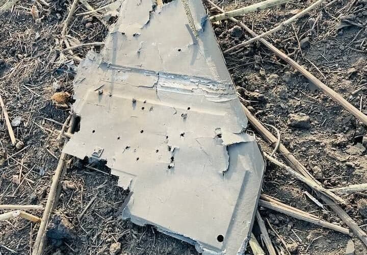
Russian drone delays Zelenskyy, sets off RO-Alert
A Russian drone crossed Moldova into Romania and crashed near Mihăileni Vechi on 8 September 2026, closing Moldovan airspace and delaying Zelenskyy's flight to Oslo.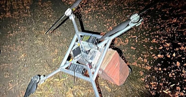
Daugidonys drone, September 6, 2026 - 55th intercept of 2026
VSAT downed a homemade drone from Belarus near Daugidonys, Šalčininkai district, on September 6, 2026. Cargo: 1,000 packs NZ Gold cigarettes, €5,510. The 55th drone interception of 2026.Hot air balloon operators.
Pre-flight wind checks are typically done at surface level. AirVeto shows wind speed and direction at the altitude band you will actually fly - 300 m, 600 m, 1,200 m, or higher. A surface reading of 5 km/h and a 300 m reading of 35 km/h are fundamentally different flight conditions. AirVeto maps the full vertical wind profile so pre-flight planning reflects reality at operating altitude.
After a flight, AirVeto reconstructs the historical wind at the time and altitude you flew. If a balloon drifted further or landed unexpectedly, the wind reconstruction explains why - and provides documentation for incident or insurance purposes.
Research and weather balloon teams.
Research balloons ascend through multiple atmospheric layers, each with different wind speeds and directions. AirVeto resolves the wind profile from surface to 10 km+ using Open-Meteo data (ECMWF + GFS blend, ICON-EU for the EU eastern border), updated hourly. Before a launch, that profile predicts the drift corridor and recovery zone. After, it reconstructs where the payload went if telemetry was lost.
Teams running regular balloon programmes use AirVeto to compare planned vs actual drift across launches - building a picture of how model wind translates to observed flight paths at their site.
Defence and border balloon programmes.
When a balloon crosses a national border, the wind at the time and altitude of the crossing reconstructs where it was released. AirVeto applies this to documented airspace incursions - the Poland-Belarus border, the Suwałki corridor, and the full incident archive - but the same methodology applies to any documented crossing: known crossing point + altitude + timestamp → probable release zone.
Border monitoring teams use the incident archive to compare conditions across multiple events: same release zone, same wind window, same method. See AirVeto for border monitoring for the full capability description.
- 8
- Altitude layers from surface to 10 km+
- 1h
- Open-Meteo wind data update cadence
- 50+
- Balloon incursion incidents archived
Team accounts for balloon operations.
The Companies plan (€99 / month) provides a shared organisation account for multiple pilots, researchers, or analysts. Team members log in under one account - useful for balloon programmes with more than one operator checking conditions or a launch crew spread across sites.
Companies plan users can also connect their own data to the map - balloon GPS telemetry, recovery crew positions, launch sensors - via the custom data API. Invoice billing is available for institutional and public-sector procurement. Contact hello@airveto.com to discuss a deployment.
See where the wind carries it.
Free signup, no card required. Pro and Companies plans for extended forecast and team access.