
A common operating picture for the eastern border.
One live map your whole team works from: your sites, units and sensor feeds next to aircraft, drone zones and the incident record, from Finland to Romania. European, and running today.
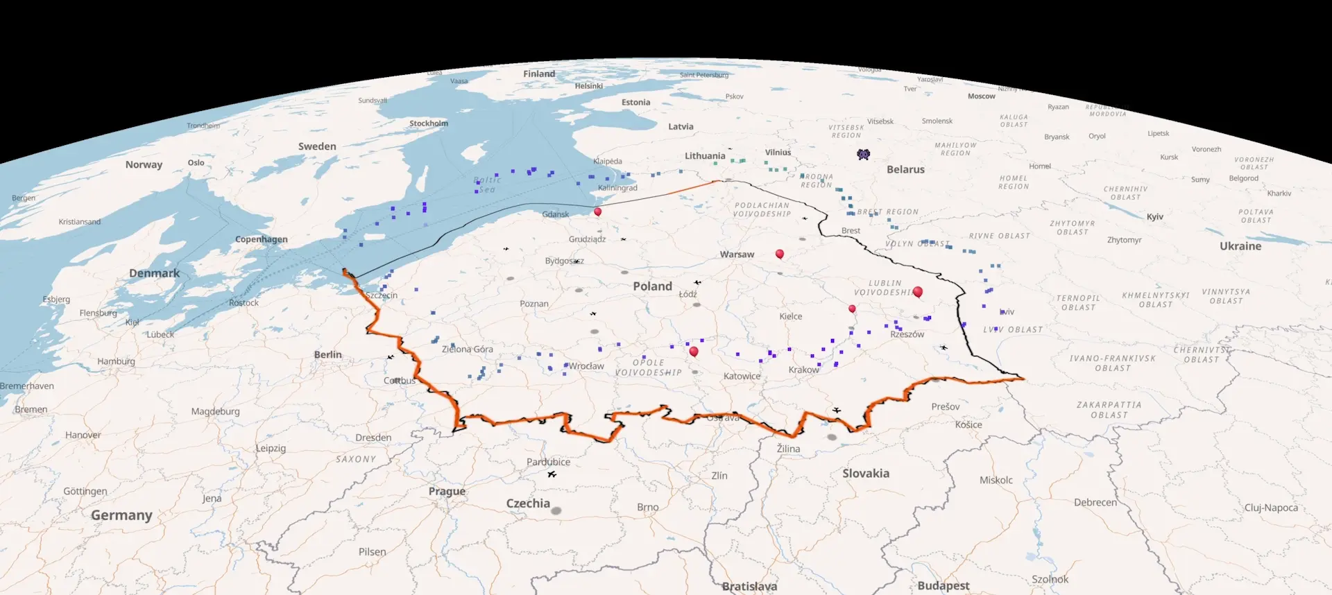
What's on the picture.
Your sites and units
Place, edit and move them on the map. The tactical view gives a roster, a selection card per unit, and fades units that haven't reported in a while.
Your feeds
Radar, detection systems, fleet GPS or observation posts appear live through an HTTPS connector. See custom data.
Shared layers
Aircraft from public ADS-B, drone zones, wind at 8 heights from 80 m to 7.2 km, and every documented incident nearby.
One account per team
Everyone on a shift sees the same picture. Invoice billing for the public sector.
What it helps you decide.
Where a track goes next
From two or more timed sightings: speed, heading and the likely position in 5, 10 and 15 minutes, with a likely-area radius. Wrong if the object turns or lands, and it says so.
Where to put coverage
Suggested sites along the border for a given sensor or interceptor range, scored by how often the forecast wind blows in across each segment. A planning aid, not a validated prediction.
Which sites are exposed tonight
For drifting balloons: the wind at each of your sites and how often it blows in from across the border. See tonight's figure on the balloon tracker.
What happened here before
Every incident near a point, with its sources and each claim tagged confirmed, reported, modelled or unknown. See the archive.
Tell it what you need. It plans the map
Ask in plain words and it runs your map: it places radars, sensors, vehicles and markers, moves them as plans change, connects your own data feeds and checks the wind at 8 heights at each one. It briefs you; you decide.
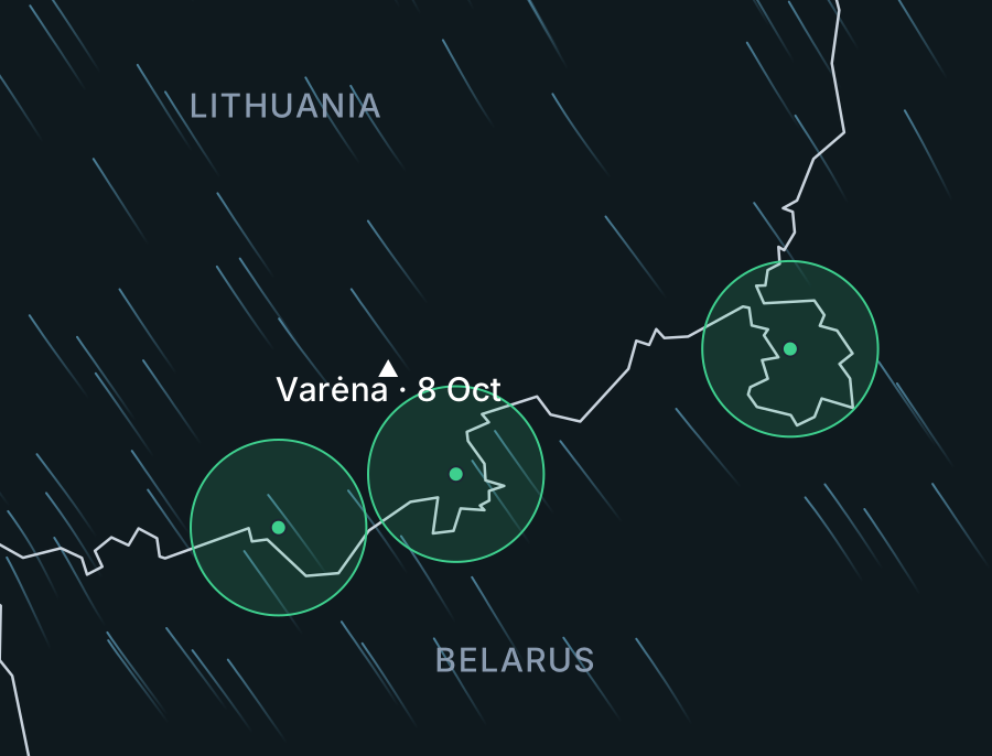
- 147
- Documented airspace incidents in the archive
- 16
- Countries covered, Finland to Romania
- 8
- Wind heights, 80 m to 7.2 km
What it isn't.
- It doesn't detect anything itself. Objects appear from your feeds, your sightings or public sources.
- It isn't an official warning service. Use it alongside national alerts and your own systems.
- It has no targeting or engagement functions. Engaging stays with your systems and your decision.
- Wind is model forecast (ICON-EU via Open-Meteo), not a measurement. Export to ATAK is on the roadmap, not built.
For border teams specifically, see border monitoring; for drone crews, drone operators.
Try it on your own sector.
Tell us your area, team size and the feeds you'd connect. Pilots are scoped one by one.