
Wind at mission altitude, before you launch.
AirVeto shows wind speed and direction at every altitude layer from ground level to 3,000 m+. Check conditions at your planned operating altitude - not just the surface reading - before committing to a sortie. For powered drones, wind is mission context, not trajectory.
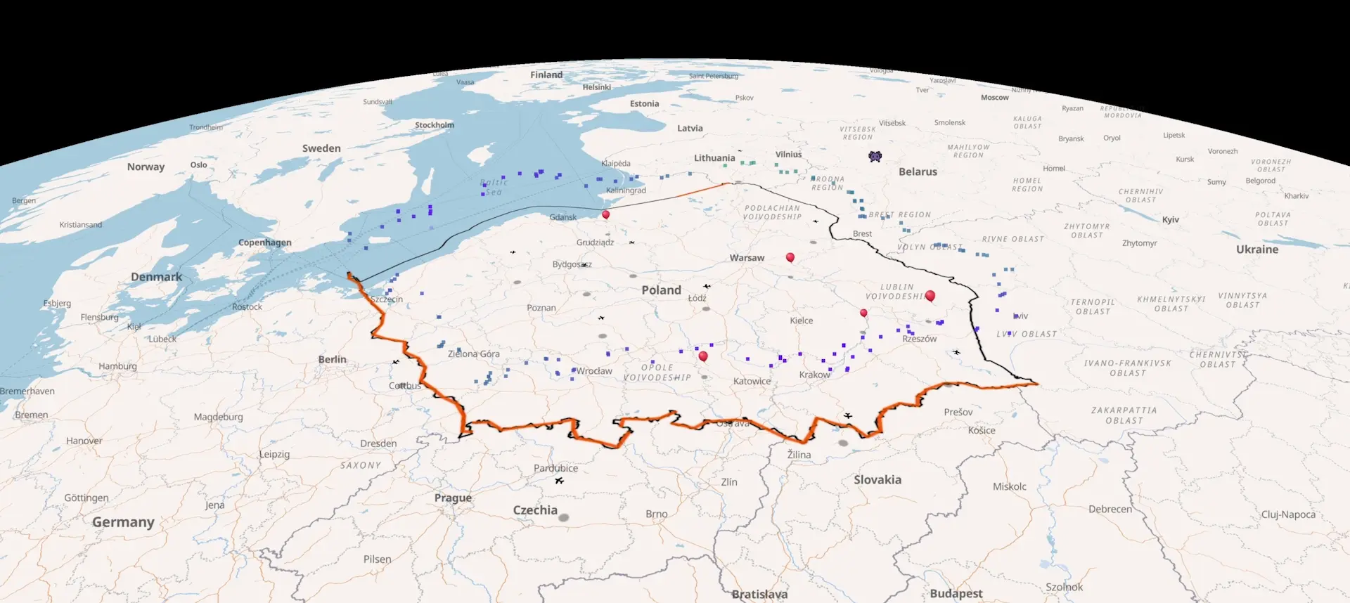
Recent cross-border balloon and aircraft incidents.
Every reported incursion since December 2025 - launch coordinates, the wind field at the time, drift trajectory, landing point. Source-linked. Each entry is its own page; deep-link any timestamp to the live map at the event location.
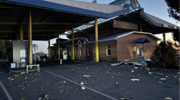
Starokozache border crossing drone strike, 9 Sep 2026
Russian drones struck the Starokozache checkpoint on Ukraine's border with Moldova overnight, killing two civilians and wounding three on 9 September 2026.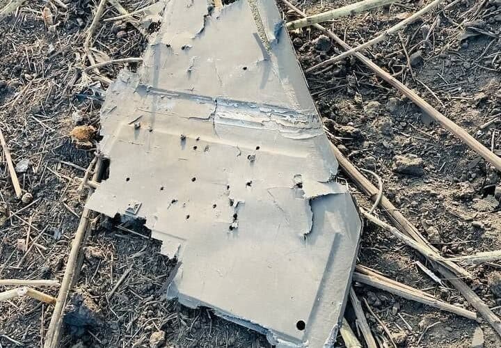
Russian drone delays Zelenskyy, sets off RO-Alert
A Russian drone crossed Moldova into Romania and crashed near Mihăileni Vechi on 8 September 2026, closing Moldovan airspace and delaying Zelenskyy's flight to Oslo.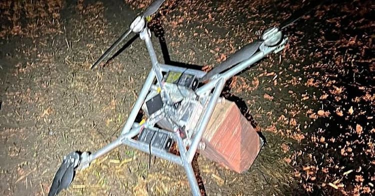
Daugidonys drone, September 6, 2026 - 55th intercept of 2026
VSAT downed a homemade drone from Belarus near Daugidonys, Šalčininkai district, on September 6, 2026. Cargo: 1,000 packs NZ Gold cigarettes, €5,510. The 55th drone interception of 2026.Pre-flight wind at operating altitude.
A 5 km/h surface reading and a 35 km/h reading at 300 m are very different mission conditions. AirVeto shows the full vertical wind profile at any point on the map, updated hourly from Open-Meteo. Switch between altitude bands - surface, 100 m, 300 m, 600 m, 1,200 m and above - to assess the actual conditions at the altitude you will operate in.
| Altitude band | Typical use |
|---|---|
| Surface to 100 m | Low-altitude survey, inspection, delivery |
| 100–300 m | Standard commercial operations, photography, mapping |
| 300–600 m | Extended visual line of sight (EVLOS) operations |
| 600 m+ | Beyond visual line of sight (BVLOS), industrial survey, long-range |
- 8
- Altitude layers from surface to 3,000 m+
- 1h
- Open-Meteo wind data update cadence
- 36h
- Forecast range on Pro plan
Post-incident site assessment.
After a drone goes missing or crashes, AirVeto reconstructs the wind field at the time and altitude of the incident. For powered autonomous drones, wind does not determine the flight route - but it establishes what the aircraft encountered and supports the investigation record. AirVeto provides historical wind at any point and altitude for this purpose.
AirVeto is not a drone flight controller or autopilot feed. It provides wind data for planning and analysis - it does not predict where a specific drone will fly. Powered drones navigate autonomously; wind is a factor in their operation, not their trajectory.
Fleet operations and team accounts.
Companies plan users get a shared organisation account. Multiple pilots or dispatchers log in under the same account - useful for survey crews planning sorties across multiple sites or shifts. The Companies plan also supports custom data overlay: connect drone telemetry to the map for live position tracking alongside the wind layer.
For survey companies with multi-crew operations, contact hello@airveto.com to discuss a Companies setup. Invoice billing is available.
Eastern European airspace context.
AirVeto was built around the EU eastern border - Lithuania, Latvia, Estonia, Poland, Romania. The incident archive covers over 50 documented cases of unknown drone activity along these borders. Drone operators working near the Lithuania-Belarus border, the Kaliningrad corridor, or the Polish-Belarusian boundary can use the incident archive to understand the airspace history of their operating area.
See the incident index for the full archive. Key location hubs: Suwałki Gap, Kaliningrad corridor, NATO eastern flank.
Check wind at altitude before you launch.
Free signup, no card required. Pro and Companies plans for extended range and team access.