
Four airspace entries off Sulina, Romania, 14-15 Oct 2026
Romania's defence ministry logged four entries into national airspace off Sulina between the morning of October 14 and 01:34 on October 15, 2026; Ukrainian air defence shot down two targets.
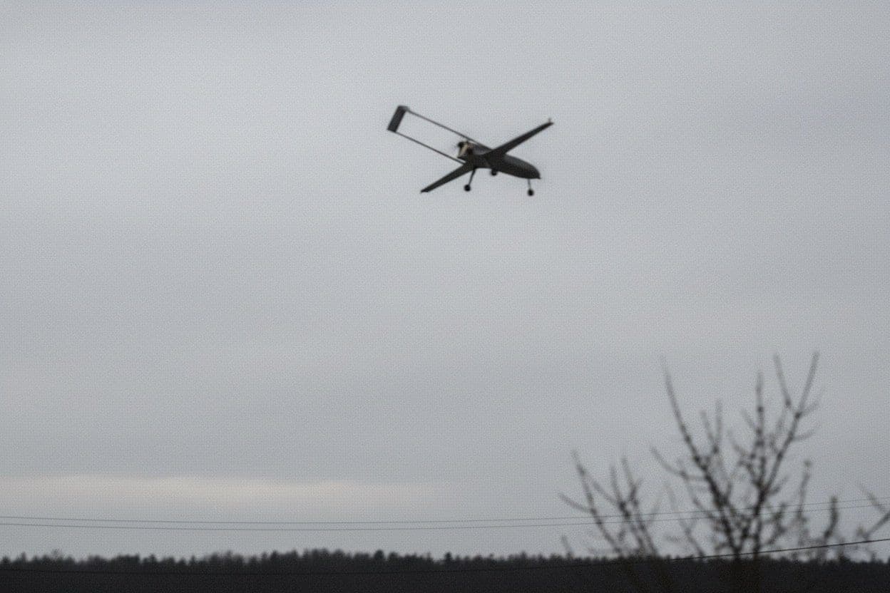
Romania's defence ministry logged four entries into national airspace off Sulina between the morning of October 14, 2026 and 01:34 local time on October 15. The RO-Alert came one minute after the 17:38 entry, two minutes before the 20:04 entry, and not until 04:57 for the 01:34 drone.
Ukrainian air defence shot down two of the targets, the ministry said. Fighters were lifted each time: Romanian F-16s from Borcea and Fetești, and Spanish F-18s from Mihail Kogălniceanu.
Four entries off Sulina between the morning and 01:34
The ministry published a separate release for each event. This is the order it gives:
- Morning, October 14: A target briefly crossed Romanian airspace east of Sulina, over the Black Sea, then entered Ukrainian airspace, where Ukrainian air defence shot it down. The RO-Alert went out at 10:19 and the alert ended at 11:22. No entry time was given.
- 17:38 to 17:46: A target spent eight minutes in Romanian territorial waters, about 22 km northeast of Sulina. The RO-Alert went out at 17:39 and the alert ended at 19:03.
- 20:04: Two targets entered. Radar contact with one was lost over the sea. The other left at 20:13 toward Vâlcove, Ukraine. The RO-Alert went out at 20:02, with a second one for Galați County at 20:33, and the alert ended at 21:14.
- 01:34, October 15: A drone was inside Romanian territorial waters southeast of Sulina for about a minute, then vanished from radar. The RO-Alert went out at 04:57 and the alert ended at 05:46.
The day had started earlier. At 06:39 an RO-Alert covered three targets near Vâlcove, in Ukraine, which the ministry said never entered Romanian airspace. Vâlcove, known in Ukrainian as Vylkove, lies 27.6 km from Sulina by AirVeto's measurement.
The Galați alert followed a target heading for Reni, 17.7 km from the city
After the 20:13 exit toward Vâlcove, the ministry said a target moved on toward Reni, in Ukraine, with a potential trajectory toward Galați. The ministry sent a second RO-Alert for eastern Galați County at 20:33. Ukrainian air defence destroyed the target near Reni, north of the Chilia arm of the Danube.
Reni is 112 km from Sulina and 17.7 km from the centre of Galați, by AirVeto's measurement. Those are great-circle distances between town centres. The other alerts of the day covered only Tulcea County.
The 01:34 drone got its RO-Alert 3 hours 23 minutes late
At 17:38 the target entered and the alert followed at 17:39. At 20:04 the two targets entered and the alert had gone out at 20:02. For the 01:34 drone, the only alert the release lists went out at 04:57, after F-16s from Fetești were lifted for other targets 77 km east of Snake Island. The release does not say which target the 04:57 message answered.
The morning entry cannot be placed against its alert, because the release gives only the 10:19 message.
Wind over the Black Sea off Sulina blew from the north at 500 m on both days
AirVeto's wind model gives the center-point wind for the nearest hour to each event, in local time.
| Local time | 500 m | 2,000 m | 3,000 m |
|---|---|---|---|
| 10:00, October 14 (morning alert) | N, 46 km/h | WNW, 6 km/h | SW, 19 km/h |
| 17:00, October 14 (17:38 entry) | N, 45 km/h | NNE, 14 km/h | WSW, 7 km/h |
| 20:00, October 14 (20:04 entry) | NNE, 49 km/h | N, 18 km/h | NW, 7 km/h |
| 01:00, October 15 (01:34 drone) | NNE, 46 km/h | NNE, 31 km/h | NNW, 19 km/h |
Directions are where the wind blew from. No altitude was given for any target.
Sulina's July shoot-down was Romanian, and October's two kills were Ukrainian
On July 26 a Romanian F-16 shot down a drone 12 km northeast of Sulina. On October 14 the two kills the ministry reported, the morning target and the target near Reni, were by Ukrainian air defence, after the targets had left Romanian airspace.
AirVeto's archive has five earlier pages within 40 km of Sulina, including the Periprava drone of August 2 and the July 2026 Danube Delta drone series. On October 2 a possible drone fell near Plauru in the same county, and an alert on October 5 covered a target east of Vâlcove.
This reconstruction is based on the Romanian Ministry of National Defence's press releases, AGERPRES, Mediafax, European Pravda, Radio România, Spotmedia and AirVeto's wind-model data for the event window. How the model is built is on the methodology page. Every drone and airspace event AirVeto has reconstructed along the EU's eastern border is in the incident archive.
Sources
- Romanian Ministry of National Defence - Press information, morning target east of Sulina (14 Oct 2026)
- Romanian Ministry of National Defence - Press information, afternoon target northeast of Sulina (14 Oct 2026)
- Romanian Ministry of National Defence - Press information, evening targets (14 Oct 2026)
- Romanian Ministry of National Defence - Press information, night of 14-15 October (15 Oct 2026)
- Romanian Ministry of National Defence - Press information, targets near Vâlcove at 06:39 (14 Oct 2026)
- AGERPRES - MApN: Drone enters national airspace near Sulina, two F-16 aircraft scrambled (14 Oct 2026)
- Mediafax - Drone enters Romanian airspace; F-16 jets scrambled (14 Oct 2026)
- European Pravda - Russian drone enters Romanian airspace (14 Oct 2026)
- Radio România - Dronă detectată la 30 kilometri est de Insula Șerpilor (14 Oct 2026)
- Spotmedia - Două ținte aeriene au intrat în spațiul aerian național. Au fost ridicate de la sol F-18 spaniole (14 Oct 2026)
- Mediafax - Noi alerte aeriene în Tulcea și Galați: două ținte au pătruns în spațiul aerian al României (14 Oct 2026)
- Methodology