
Periprava drone, 2 Aug 2026 - Romania does not engage
A drone crossed into Romanian airspace near the Danube Delta on August 2, 2026; Romania issued a RO-Alert but did not engage, unlike three prior intercepts that week.
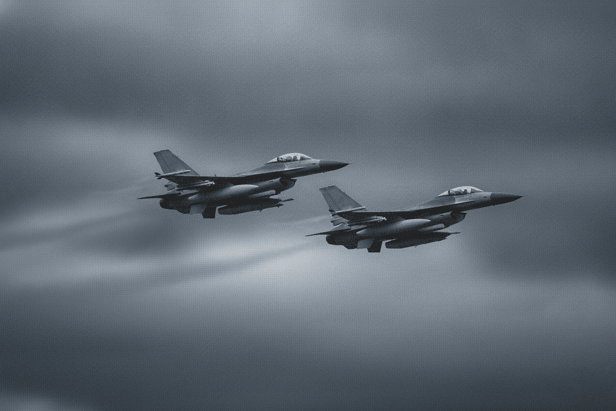
At 15:09 EEST (12:09 UTC) on Sunday, August 2, 2026, Romania's Ministry of National Defence detected a drone crossing into national airspace near the country's river border with Ukraine, close to the Danube Delta. Two F-16s from the 86th Air Base at Borcea took off eight minutes later, and authorities issued a RO-Alert for residents of Tulcea County. The drone flew roughly 20 minutes over Romanian territorial waters and along the Sulina branch of the Danube before crossing back into Ukraine, where Ukrainian forces shot it down. The alert was lifted at 16:05 EEST (13:05 UTC). Debris fell on agricultural land near the village of Periprava, about one kilometer from the Ukrainian border; no casualties or property damage were reported.
Romania did not engage this drone, breaking from the pattern set a week earlier
The Romanian military did not identify the drone or say whether it had entered Romanian airspace intentionally or while flying toward targets in Ukraine. Unlike three drones Romania shot down in the preceding week, Romanian fighters tracked but did not engage this one, leaving the intercept to Ukrainian forces after it left Romanian airspace. It was the second aerial alert in Romania that day - the Air Force had already issued a warning that morning after detecting a separate drone near the border.
That prior week marked a shift in Romania's posture. Between 24 and 26 July, Romanian F-16s shot down three drones that had violated the country's airspace, the first known interceptions of their kind by the Romanian Air Force - see the Padina shoot-down. Romanian prosecutors later identified at least one of the three as a Russian Shahed-type drone, prompting Bucharest to prepare a formal diplomatic protest to Moscow. Drone debris has repeatedly fallen on Romanian soil since 2022; in May 2026 a Russian Geran-2 drone struck a residential building in Galați, injuring civilians.
Wind conditions over the Danube Delta
At 12:00 UTC on 2 August, the 500 m layer over the incursion point showed wind pushing southwest at 23.4 km/h. At 2,000 m the wind held pushing southwest at 20.9 km/h; at 3,000 m it shifted to push west at 22 km/h.
This reconstruction draws on reporting by Euromaidan Press and Kyiv Independent, and on AirVeto's wind-model data for the 12:09-13:05 UTC window on August 2, 2026. How the model is built and where it is reliable is on the methodology page. A full archive of drone and airspace incidents across the EU's eastern border is at the incident archive.