
Larissa 1 ship hit by drone off Sfantu Gheorghe, 13 Nov
A drone hit the Palau-flagged cargo ship Larissa 1 about 12.6 km off Sfantu Gheorghe, Romania, at about 21:40 on November 13, 2026. No one was hurt.
AirVeto finding: The cargo ship Larissa 1, about 50 km from Snake Island, was reported hit 13 minutes before Romania's RO-Alert for an air target south-east of the island.
Evidence behind the finding1 confirmed1 reported1 modelled1 unknown
- reportedThe hit on the Larissa 1 was reported to the authorities at about 21:40 local time on 13 November.Ziua de ConstantaRadio Romania Constanta
- confirmedThe defence ministry says radar found an air target south-east of Snake Island and a RO-Alert went out for north Tulcea County at 21:53.Digi24
- modelled21:53 minus 21:40 gives 13 minutes, and the ship is about 50 km from Snake Island.Ziua de ConstantaDigi24
- unknownWhere the drone came from; the defence minister said he could not say until checks are finished.
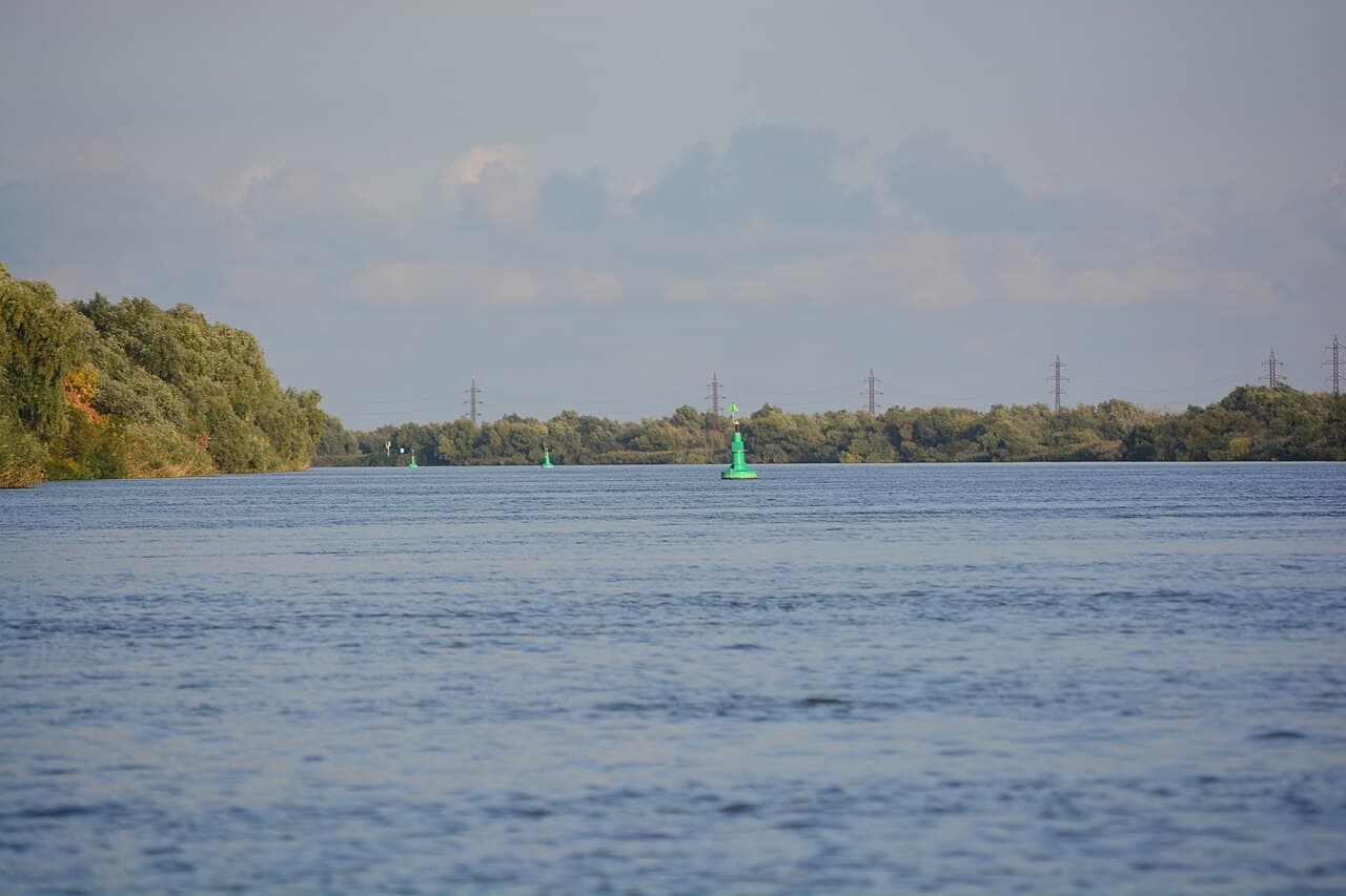
A drone hit the Palau-flagged cargo ship Larissa 1 about 12.6 km off Sfantu Gheorghe, in Romania's Danube Delta, at about 21:40 local time on Friday, November 13, 2026. The crew reported no injuries and no fire.
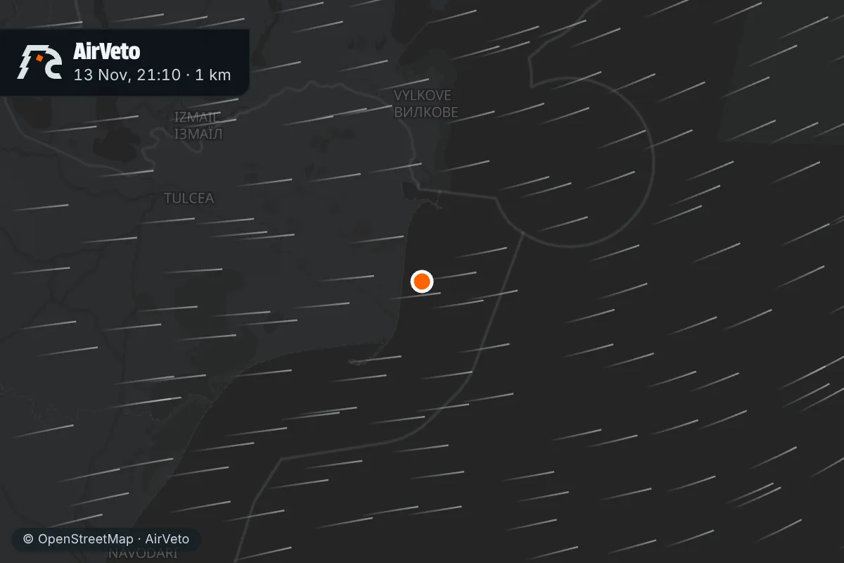
The drone destroyed the ship's cargo crane and no one was hurt
The ship's commander told the naval authorities at Sulina that no sailor was hurt and that the impact started no fire, Radio Romania Constanta reported. The crew's first assessment was limited damage. Ziua de Constanta also says the drone destroyed the cargo crane, while HotNews says it was damaged.
The Larissa 1 is a 149-metre general cargo ship, IMO number 9154268, bound for Ukraine via the Sulina roadstead, per the same report. Defence Minister Radu Oprea confirmed the strike on Saturday, HotNews reported from the Constanta military port. He said he was told overnight and that nobody was killed or injured. He could not say where the drone came from until checks end.
Reports differ on whether the ship was at anchor
Radio Romania Constanta, citing the Vesseltracker maritime monitoring service, says the ship was at anchor off Sulina when it was hit, and also that it was heading for the Sulina roadstead. HotNews and Spotmedia say only that it was heading there. The position also varies by outlet. Ziua de Constanta gives 6.8 nautical miles north-east of Sfantu Gheorghe, which HotNews converts to about 12.6 km. Digi24's headline says 12 kilometres. The map pin follows the north-east bearing and is approximate.
An alert for an air target near Snake Island came 13 minutes after the ship's report
The ministry says its radar found an air target south-east of Snake Island, in Ukrainian airspace, and two F-16s took off from Fetesti. Digi24 carries its times: the RO-Alert for north Tulcea County went out at 21:53 and the alert ended at 22:58. The hit on the ship was reported to the authorities at about 21:40, 13 minutes earlier. The ministry's statement does not mention the ship.
The ship's approximate position is about 50 km from Snake Island, by AirVeto's measurement. No report AirVeto read says whether the target the radar saw and the drone that hit the ship were the same object.
| Local time | Event | Source |
|---|---|---|
| Fri 21:40 | Larissa 1 reported hit by a drone | Ziua de Constanta |
| Fri 21:53 | RO-Alert for north Tulcea County | Digi24 (13 Nov) |
| Fri 22:58 | Air alert ended | Digi24 (13 Nov) |
| Sat 04:45 | RO-Alert for east Tulcea County | Digi24 (14 Nov) |
| Sat 05:39 | RO-Alert for north Tulcea County | Digi24 (14 Nov) |
| Sat 05:52 | Air alert ended | Digi24 (14 Nov) |
| Sat 20:51 | RO-Alert for east Tulcea County, target east of Snake Island | HotNews |
| Sat 21:50 | Air alert ended | HotNews |
Oprea said at least two alerts were issued in different areas of Tulcea County on Friday. HotNews reported that he added Romanian pilots have shot down six drones so far. In his words, Romanian and Spanish air-policing aircraft and helicopters can engage targets.
The wind blew from the south-west at ship level
AirVeto's wind model gives the center-point wind off Sfantu Gheorghe at 21:00 local time, 40 minutes before the report. At 80 m the wind blew from the SW at 48 km/h. At 2,000 m it came from the W at 78 km/h. At 3,000 m it also came from the W, at 54 km/h.
| Altitude | Wind from | Speed |
|---|---|---|
| 80 m | SW | 48 km/h |
| 2,000 m | W | 78 km/h |
| 3,000 m | W | 54 km/h |
Another ship near this coast was hit in October
HotNews places the Larissa 1 in a run of Black Sea ship incidents. On October 28, it says, drones hit a commercial ship bound for Constanta in Bulgarian waters. AirVeto's archive holds the Romanian ship sinking of October 5 and the Bulgarian strike on the Alfa Watan. Closer in time, the same stretch of coast had air alerts on 12 November and on the night of 13 November.
This reconstruction is based on reporting by Digi24, HotNews, Radio Romania Constanta, Ziua de Constanta and Spotmedia, and AirVeto's wind-model data for the event window. How the model is built is on the methodology page. Romania's other airspace events are in the Romania hub and the incident archive.
Sources
- Digi24 - Nava lovita de o drona in Marea Neagra, la 12 kilometri de Sfantu Gheorghe. Ministrul Apararii: Nu sunt pierderi de vieti omenesti (14 Nov 2026)
- HotNews - Nava lovita de o drona in apele Romaniei, langa Sfantu Gheorghe. Anuntul Ministerului Apararii (14 Nov 2026)
- Radio Romania Constanta - O nava sub pavilion Palau a fost lovita de o drona in apele teritoriale ale Romaniei (14 Nov 2026)
- Ziua de Constanta - Alerta pe Marea Neagra, in apropiere de Sfantu Gheorghe! O nava a fost lovita de o drona (14 Nov 2026)
- Spotmedia - Commercial vessel struck by drone in Romanian waters (14 Nov 2026)
- Digi24 - Tinta aeriana detectata la sud-est de Insula Serpilor: mesaj Ro-Alert in zona de nord a judetului Tulcea (13 Nov 2026)
- Digi24 - O noua tinta aeriana detectata in zona Insulei Serpilor. Trei mesaje Ro-Alert in Tulcea, in mai putin de sase ore (14 Nov 2026)
- HotNews - RO-Alert emis in Tulcea, dupa detectarea unei drone in zona Insulei Serpilor (14 Nov 2026)
- Methodology