According to Yle and Finland's National Bureau of Investigation (NBI), a Ukrainian drone carrying an unexploded warhead crashed in forested terrain in the Perheniemi area of Iitti municipality, Kymenlaakso, at approximately 06:00 UTC on 11 April 2026. Finnish explosive ordnance disposal teams destroyed the warhead in a controlled detonation at approximately 20:00 EEST (17:00 UTC). The incident was the fourth Ukrainian drone to violate Finnish airspace, and the NBI announced it had opened two simultaneous criminal investigations in connection with the event. AirVeto's wind reconstruction at 900 hPa covers the southeastern Finland corridor during this window.
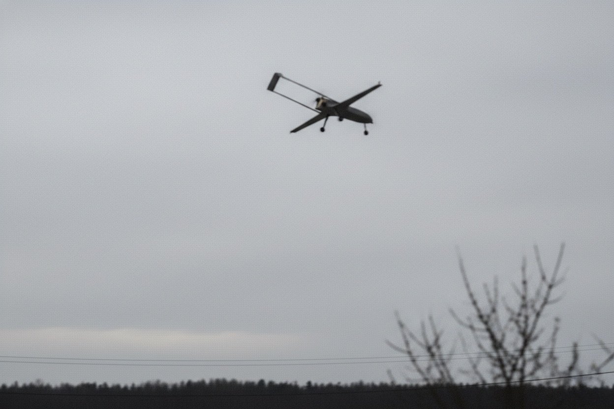
Associative image. This image is not from the incident described. It shows a military-type UAV of the kind found in field recovery operations.
Iitti is 30 km northeast of Kouvola - the same flight corridor
The Perheniemi village lies in the western part of Iitti municipality, Kymenlaakso region, approximately 30 km northeast of Kouvola city centre. The crash site was in mixed boreal forest; Finnish police established a cordon around the site. Iitti sits in the same geographic band as the 29 March Kouvola crash - both incidents lie along the corridor running from the Gulf of Finland northward through Kymenlaakso toward Russia.
This geographic consistency across the March–April Finnish incidents points to a repeating flight track: Ukrainian drones launched on Ust-Luga or Primorsk strike packages cross the Gulf of Finland on a northeastern heading; Russian electronic warfare systems near the Leningrad coast induce GPS errors that push the drones' autopilots north or northwest, into Finnish airspace over Kymenlaakso. Iitti and Kouvola both sit in the band where this deflection terminates.
NBI opened two simultaneous criminal investigations
Finland's National Bureau of Investigation announced that it had opened two criminal investigations in connection with the Iitti incident. The dual investigation structure mirrors the NBI's practice for each of the March–April 2026 Finnish drone finds, reflecting two distinct legal bases:
- Violation of Finnish territorial integrity (airspace incursion)
- Illegal handling of explosive ordnance (unexploded warhead on Finnish territory)
The NBI had already accumulated four open investigations from the March 2026 Kouvola and Parikkala incidents. The April 11 event added two more, bringing the total active NBI drone investigation count to at least six. Finnish authorities continued to share all recovered material with Ukrainian intelligence services, following the information-sharing protocol established after the first Kouvola incident.
The warhead was destroyed in a controlled detonation at 20:00 EEST
EOD teams assessed the warhead as intact and carried out a controlled detonation at the crash site rather than attempting transport. The explosion at approximately 20:00 EEST (17:00 UTC) was heard in neighbouring areas; Finnish media reported no injuries or structural damage. Residents in the Perheniemi area had been asked to stay indoors during the EOD operation.
Based on the NBI's April 2026 findings that the March drones were Chaika decoys, the Iitti drone is assessed to be the same type. The Chaika carries a shaped charge designed to simulate a larger strike drone on radar; its warhead, while capable of causing injury, is not designed for high-yield structural destruction.
Wind layer - 900 hPa over southeastern Finland on 11 April
AirVeto's wind reconstruction covers the 900 hPa pressure level (approximately 1,000 m) over southeastern Finland during the 11 April 2026 morning window. The embed above renders the wind field; methodology is described on the AirVeto methodology page.
This reconstruction draws on reporting by Yle, DroneXL, Ukrainska Pravda, and The Defense Post, and on AirVeto's wind-model analysis for the 06:00–17:00 UTC window on 11 April 2026.
Related Finnish incidents
The Iitti crash is the fourth confirmed drone find in the southeastern Finland series: