
Cite the wind. Show where it carried things.
AirVeto publishes sourced wind reconstruction data for every major airspace incident on the EU eastern border. Journalists and editorial teams use it to verify balloon drift trajectories, corroborate official statements, and add a data layer to incident reporting.
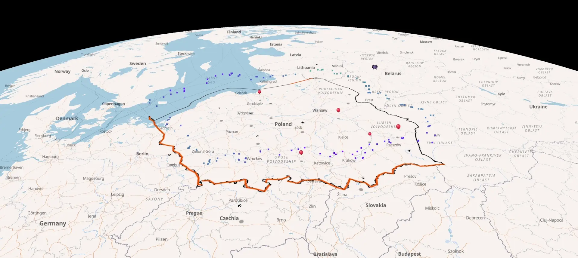
Recent cross-border balloon and aircraft incidents.
Every reported incursion since December 2025 - launch coordinates, the wind field at the time, drift trajectory, landing point. Source-linked. Each entry is its own page; deep-link any timestamp to the live map at the event location.
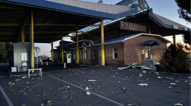
Starokozache border crossing drone strike, 9 Sep 2026
Russian drones struck the Starokozache checkpoint on Ukraine's border with Moldova overnight, killing two civilians and wounding three on 9 September 2026.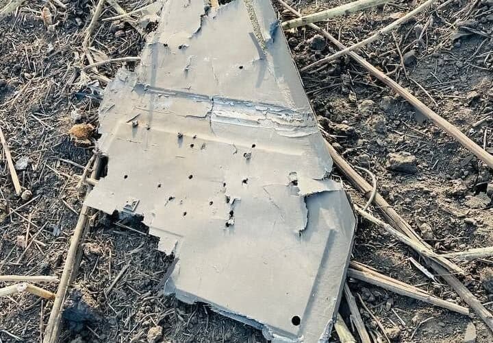
Russian drone delays Zelenskyy, sets off RO-Alert
A Russian drone crossed Moldova into Romania and crashed near Mihăileni Vechi on 8 September 2026, closing Moldovan airspace and delaying Zelenskyy's flight to Oslo.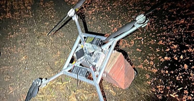
Daugidonys drone, September 6, 2026 - 55th intercept of 2026
VSAT downed a homemade drone from Belarus near Daugidonys, Šalčininkai district, on September 6, 2026. Cargo: 1,000 packs NZ Gold cigarettes, €5,510. The 55th drone interception of 2026.Three ways newsrooms use AirVeto.
Verification. When an official source (VSAT, Polish Border Guard, Estonian Defence Forces) reports a balloon crossing, AirVeto's wind reconstruction at that time, location, and altitude provides independent verification of the drift direction. If the wind at 500 m was blowing from Belarus toward Lithuania at 40 km/h, the balloon trajectory is consistent with that claim. If it wasn't, the story gets more complex.
Visual evidence. The interactive wind map can be embedded in digital articles or screenshotted for print. Each incident page includes a time-pinned wind map showing conditions at the event window - a visual data source that supplements official photography.
Context and pattern. The incident archive covers over 50 events across Lithuania, Latvia, Estonia, Poland, and Romania. Reporters covering a new incident can quickly identify how it compares to previous ones: same location, same wind direction, same season, same method.
- 50+
- Sourced incident reconstructions in the archive
- 5
- Countries covered: LT, LV, EE, PL, RO
- ~24h
- Target turnaround from event to published page
What's in each incident page.
Every incident in the archive includes a sourced factual account citing the primary source (agency press release, official statement, or named outlet), wind field data at the incident location and event altitude, an interactive map pinned to the incident location, and a publication date. All incident pages are free to read without registration.
The standard citation format for AirVeto wind data:
Wind reconstruction: AirVeto (airveto.com), Open-Meteo wind data, [date of event].
For incident-specific reconstructions, link directly to the incident page. Each URL is stable and permanently archived. Contact hello@airveto.com for data exports or higher-resolution wind field visualisations for print.
Coverage area.
The incident archive is concentrated on the EU eastern border: Lithuania-Belarus, Poland-Belarus, Latvia-Russia, Estonia-Russia, and the Romanian Black Sea coast. Key editorial resources by region:
Editorial accounts and team access.
Individual journalists can sign up free and access the live wind map immediately. For editorial teams - a news desk, a shared account for multiple reporters covering the same beat - the Companies plan (€99 / month) provides team accounts and invoice billing suitable for newsroom procurement.
For specific editorial needs - custom data exports, higher-resolution imagery, a formal data partnership - contact hello@airveto.com. Brand assets, logos, and company boilerplate for media use are at airveto.com/press.
Start with the archive. Source what you need.
The incident archive is free and open. For editorial accounts or data partnerships, email us.