See where the wind is carrying things - right now.
Contraband balloons drift where the wind takes them. Drones cross where the border is softest. This map shows both - and every past incident matched to the conditions that carried it.
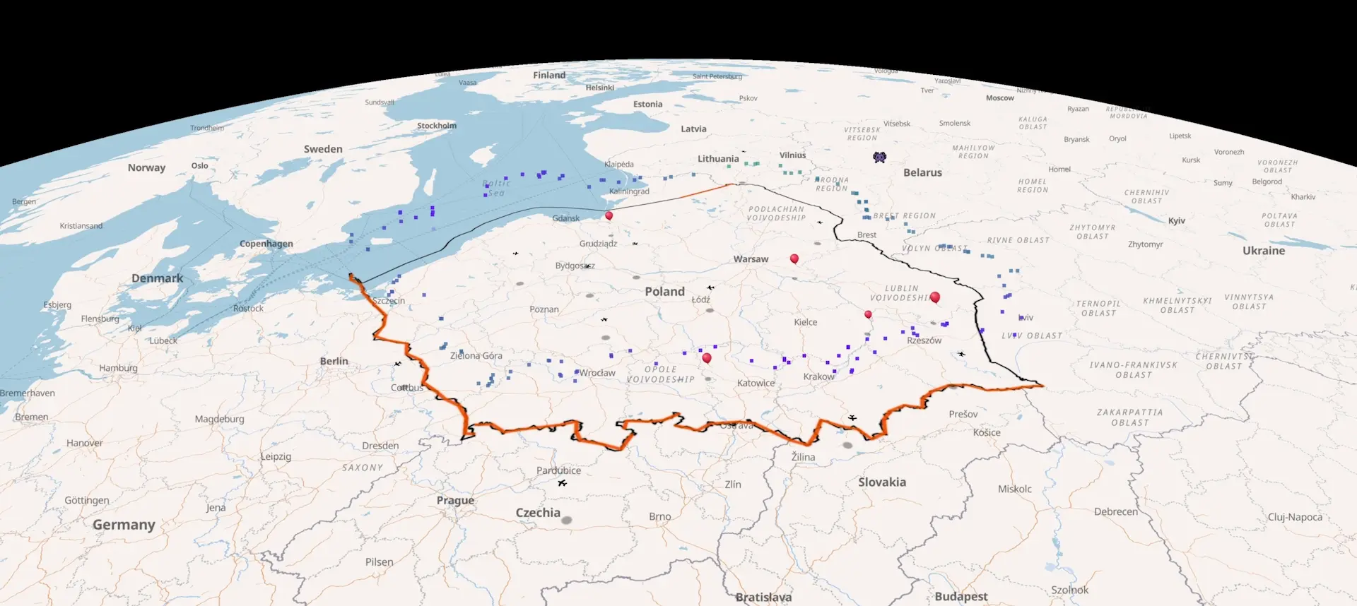
Recent cross-border balloon and aircraft incidents.
Every reported incursion since December 2025 - launch coordinates, the wind field at the time, drift trajectory, landing point. Source-linked. Each entry is its own page; deep-link any timestamp to the live map at the event location.
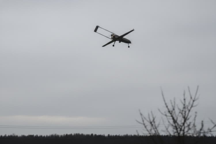
Daugidonys drone, 6 September 2026 - 55th intercept of 2026
VSAT downed a homemade drone from Belarus near Daugidonys, Šalčininkai district, on 6 September 2026. Cargo: 1,000 packs NZ Gold cigarettes, €5,510. The 55th drone interception of 2026.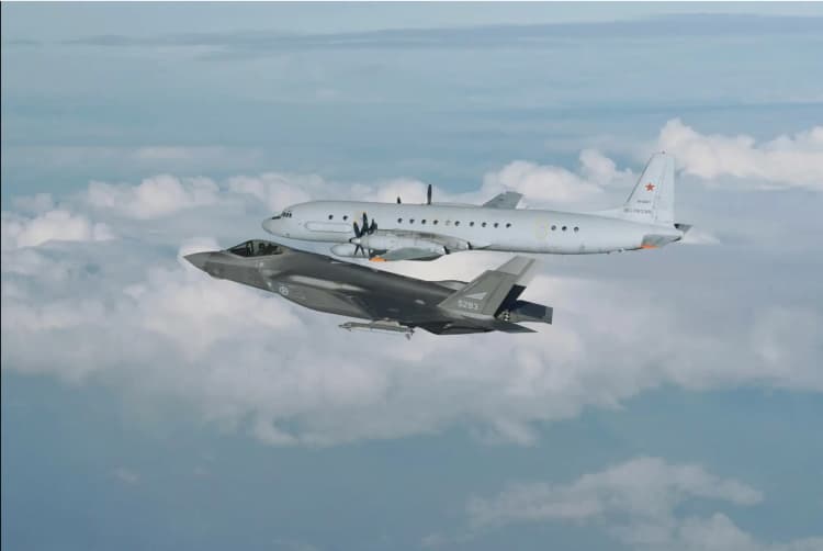
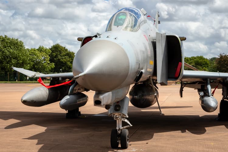
Baltic Sea, 3 Sep 2026 - Polish jets intercept Il-20 again
Polish fighter jets intercepted a Russian Il-20 reconnaissance aircraft 40 km north of Ustka in the Baltic Sea on 3 September 2026; no Polish airspace violation.Russian Geoscan drone washes up on Finland's coast, 1 Sep 2026
A Russian-made Geoscan 701 mapping drone washed up near Porvoo, Finland, on 1 September 2026; Russia had already warned Finland that a civilian mapping drone had gone missing.Our focus regions.
Coverage is concentrated along the EU’s eastern edge - the land and sea boundaries between member states and Russia or Belarus.
EU–Belarus land border
Poland, Lithuania, and Latvia share over 1,200 km of EU-external border with Belarus. Wind at six altitudes from Białowieża to the Latvian frontier.Suwałki Gap
The 65-km land bridge between Kaliningrad and Belarus - the narrowest link between the Baltic states and the rest of NATO.Kaliningrad
The Russian exclave bordered by Poland and Lithuania - the closest point of Russian-controlled territory to the Suwałki Gap, 20 km east.Vilnius International Airport
Lithuania's main airport, 30 km from the Belarusian border - closed more than ten times by balloon incursions since October 2025.Gulf of Finland
Baltic arm between Estonia and Finland, closed to the east by Russia - dense AIS traffic, GPS-spoofing reports, and stray drone intercepts.Baltic states–Russia border
Estonia's Narva line, Lake Peipus, and Latvia's eastern frontier - the EU's direct land boundary with Russia. AIS tracking covers the Baltic Sea approaches.Latest briefs.
From balloon incursions over Polish airspace to drone events near Vilnius and Suwalki Gap overflights - reconstructed from ADS-B tracks, wind models, and open-source evidence. For OSINT analysts and defence journalists covering Baltic security.